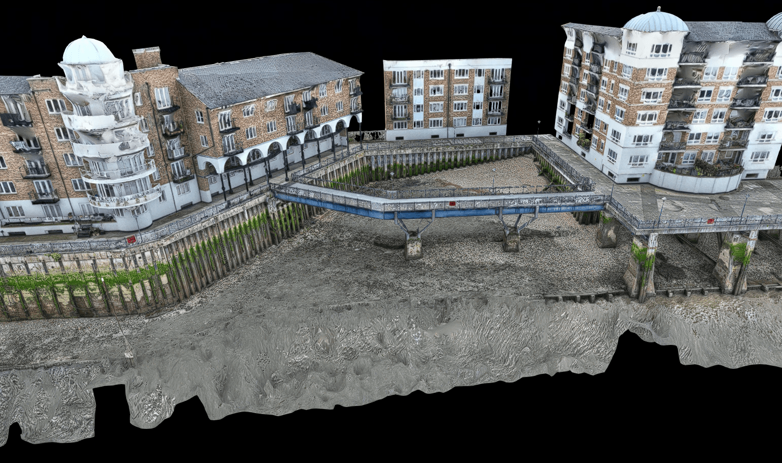
In a photogrammetry survey, a series of overlapping aerial or terrestrial photographs are taken from different vantage points. These photographs are then processed using specialised software to create detailed 3D models or maps. These outputs are as clear as photos and include great detail as often required in condition surveys.
The process involves:
Identifying common points in the overlapping photographs, known as control points, and using them to calculate the position and orientation of each photograph relative to the others. By triangulating the positions of these points, photogrammetry software can accurately determine the 3D coordinates of objects and terrain features visible in the photographs.


