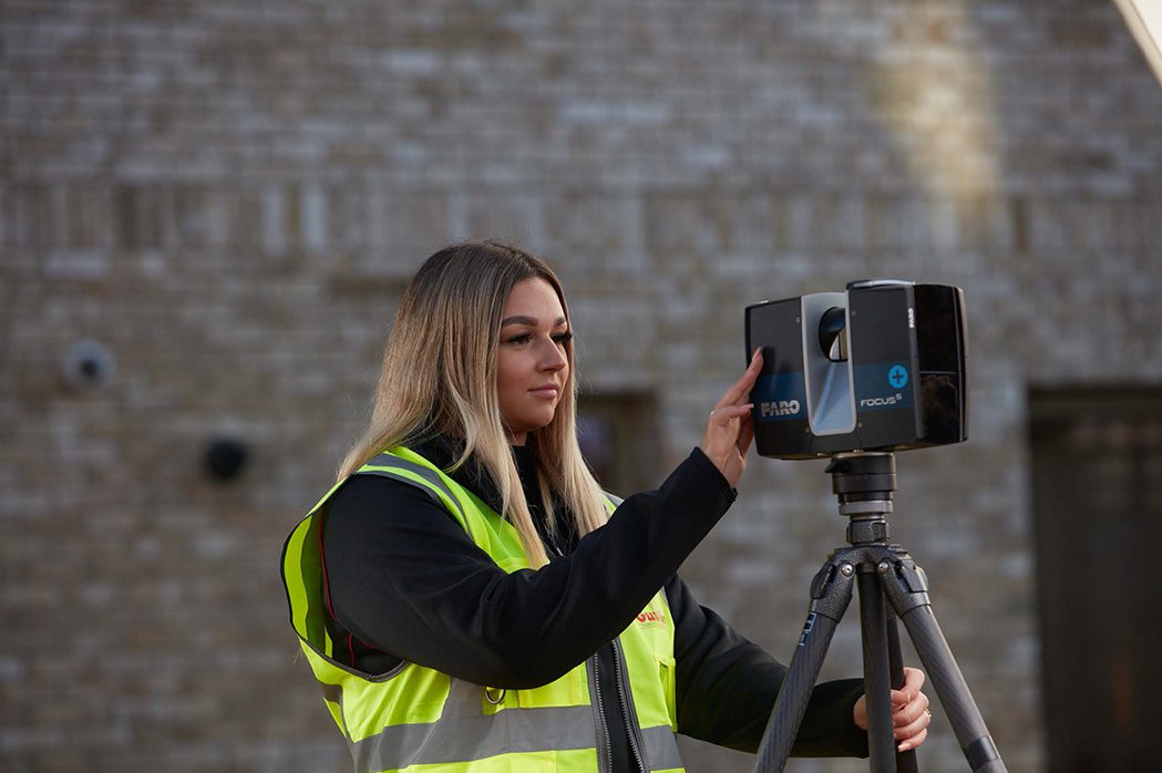
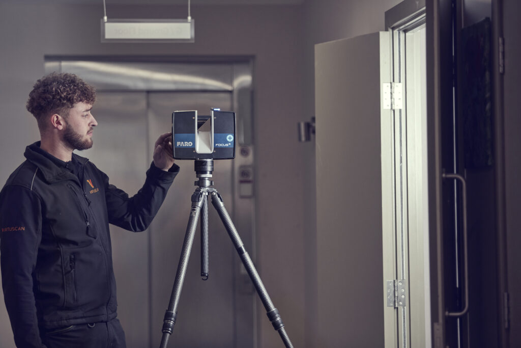
A laser scanner, often mounted on a tripod, emits laser pulses towards the target. These pulses reflect off surfaces and return to the scanner, allowing it to calculate distances and angles accurately. TLS revolutionises precision measurement and visualisation in terrestrial environments.
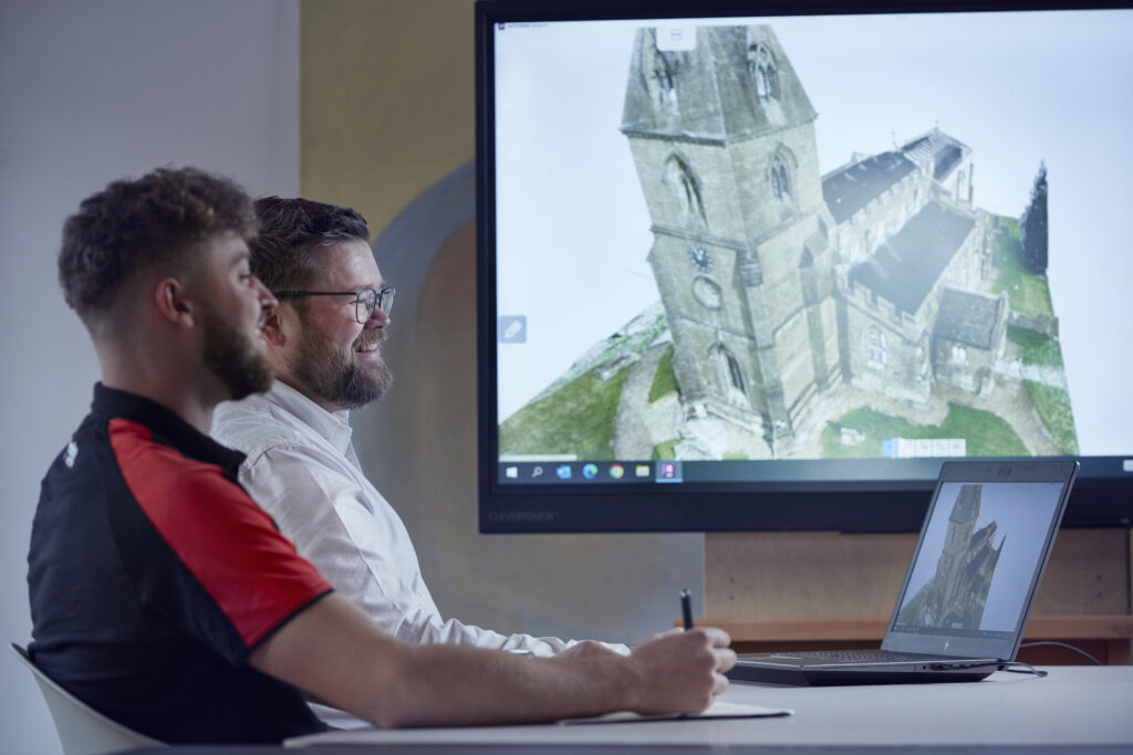
At its core, a point cloud is an accurate representation of a building or structure at the time of its capture. It can be a great tool for reviewing aspects of the captured property. Likewise, it can serve as a foundation for 3D models based on the property, serving as a formative step for any number of building capturing projects.
What is scan to point cloud?
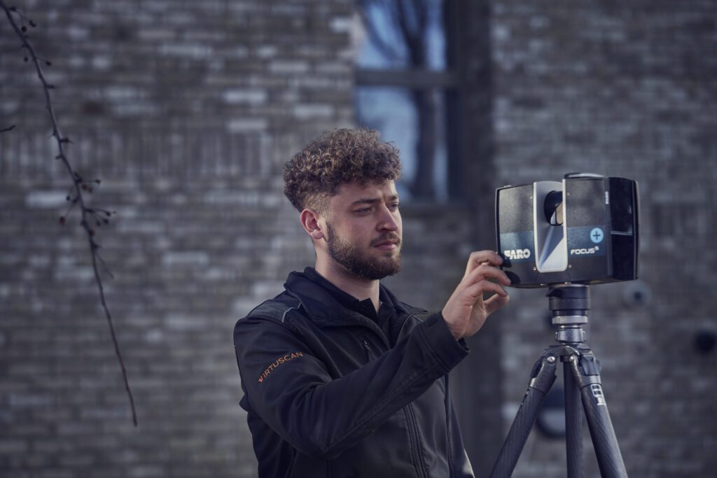
Through the use of advanced scanning and photogrammetry technology to obtain information, we then map out the data points using the reflection of light and colour variations and, from there, establish X, Y, and Z coordinates. These techniques form a core part of what it takes to create a point cloud.
Advances in this technology have increased both the speed and accuracy of point cloud surveys. This makes the construction of a point cloud more viable for the client’s business than ever before. We are able to create more accurate 3D models at greater speed. From survey drones to Faro scanners, the advances in technology allow for the creation of faster and higher-quality point clouds.
Why is point cloud effective for your business?
There are reduced risks that can be brought about by using drones and scanners which is another reason why point clouds are such an excellent option for businesses. Point clouds are a great option for safety-conscious clients. When compared with traditional ways of gathering data on a building, creating a point cloud is not only easier but safer too. Ideal for a client looking for an option that is both high quality and cost-effective.
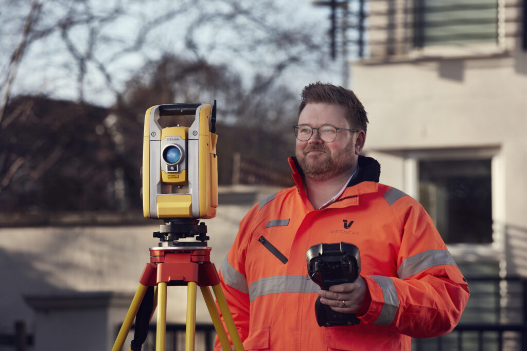

See the power of point cloud by discussing your next project with Virtuscan
Scan to BIM
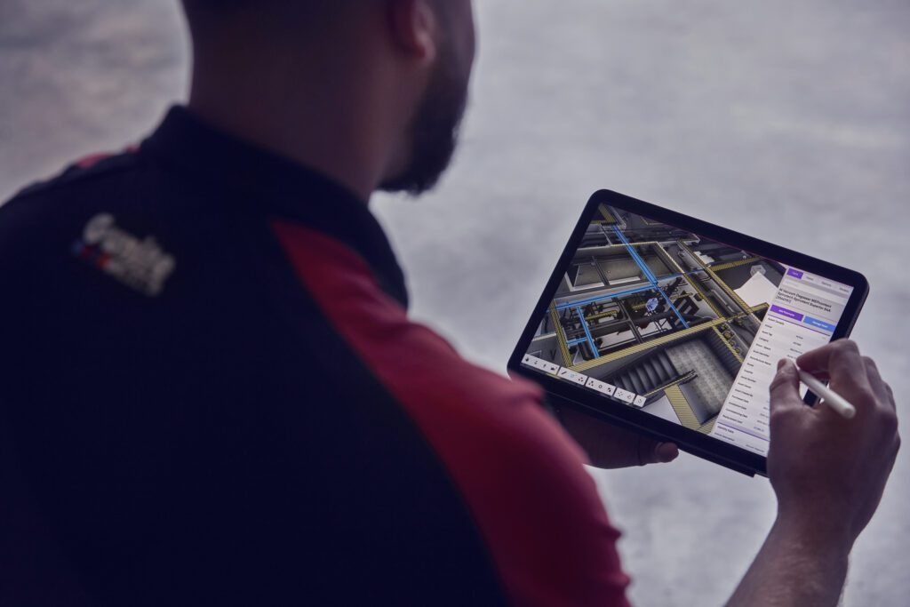
Building Information Modelling, or BIM, is the creation of an ‘intelligent 3D model’ that can hold information about a property. It is a revolutionary method that is now the standard in new construction. BIM provides information about a property that makes it valuable for any construction effort.
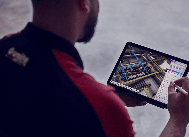
BIM is the process of creating and managing information for your built assets, such as buildings. This information is then used to create a digital replica of the asset in question. This digital replica takes the information used in its creation to represent its entire lifespan.

What’s included in a scan-to-BIM service?

Take your project to the next level with our
Scan-to-BIM service.
What are the key features
of Scan-to-BIM?
The model created by the BIM process has the ability to embed crucial building information. This ability is one of the reasons why BIM is a standard in the construction industry offering more than 2D plans or even other types of 3D models.
The embedded information covers a wide range of details, including materials used, dates of installation and measurements. An ‘intelligent 3D model’ can then be created using the embedded data. The intelligent 3D model allows it to be more than shapes on a screen. Instead, they can be a living model using embedded information to create a data-driven workspace.
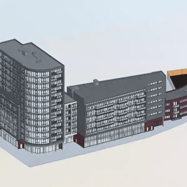
What area of the building is BIM best utilised?
The intelligent model can be useful in many different areas. It can be useful for understanding the building itself but also the environment and surroundings. This information can be used by your teams to ensure that your building and its surrounding area are built to a high standard with reduced costs.

