Our Projects
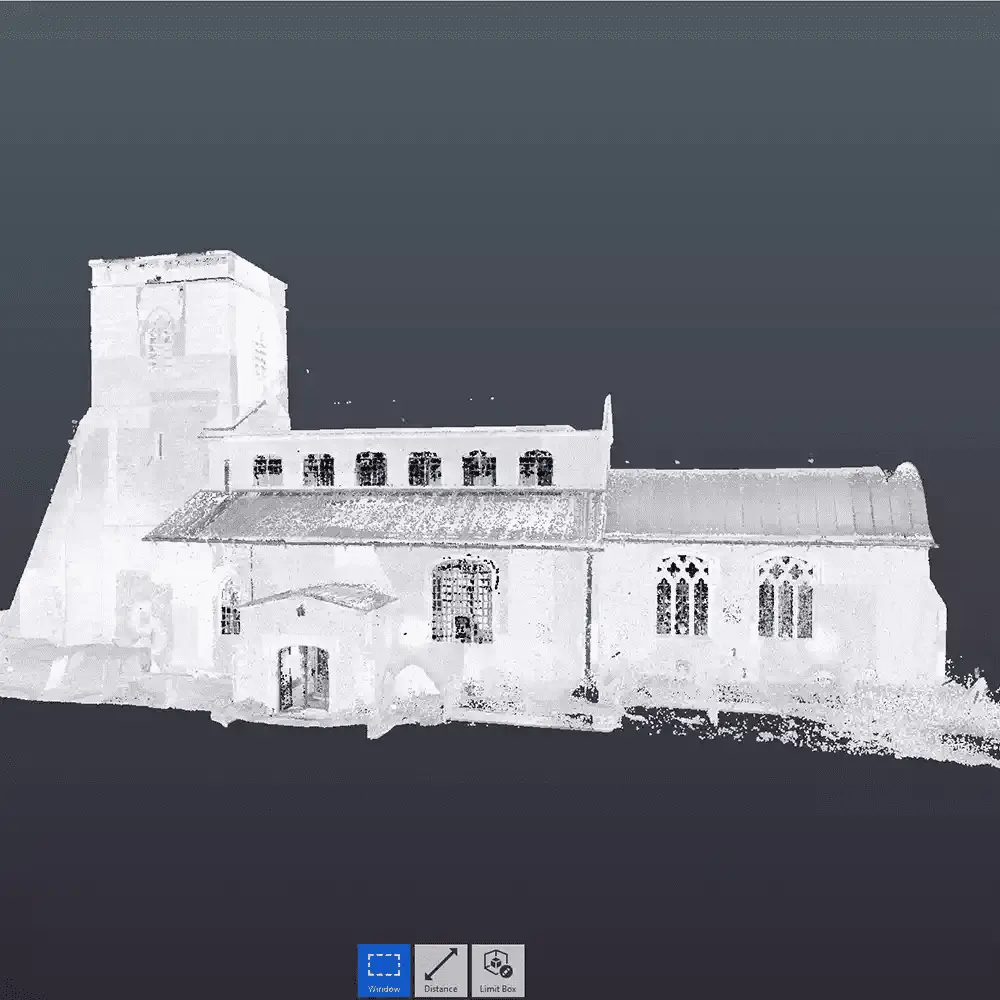
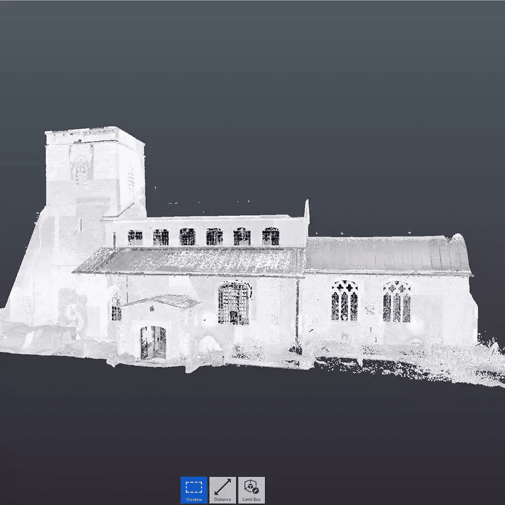
St Mary’s Church,
Buckingham
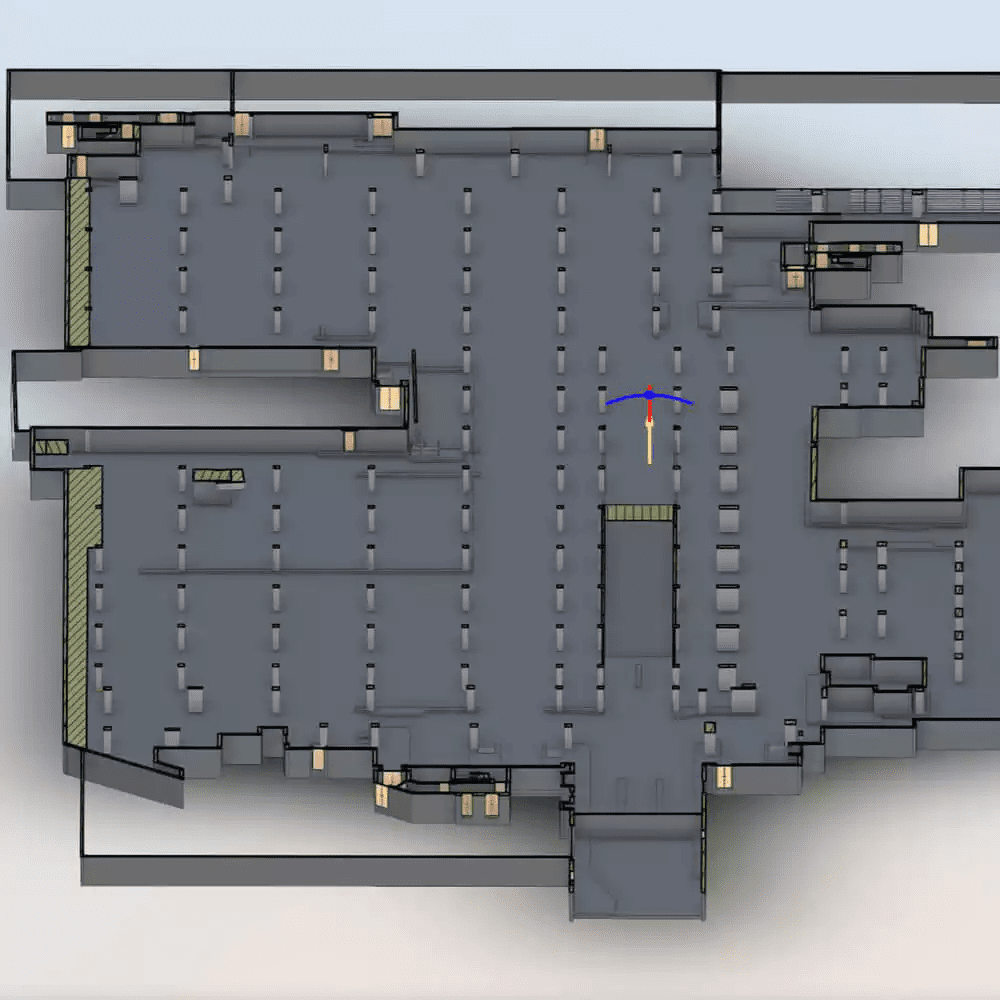
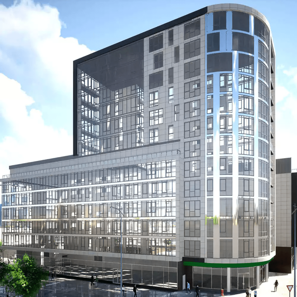
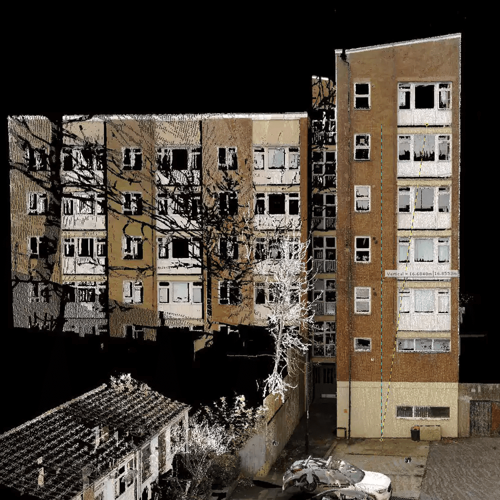
Using the data captured, Virtuscan produced 2D elevation drawings, a 3D model, rendered images, and a 360°photo tour. The 2D elevation drawings provided a clear representation of the external façades of the property, while the 3D model allowed for a more detailed and interactive view of the property’s exterior. The rendered images provided a photorealistic view of the property, enabling Kier to assess the cladding works more accurately.
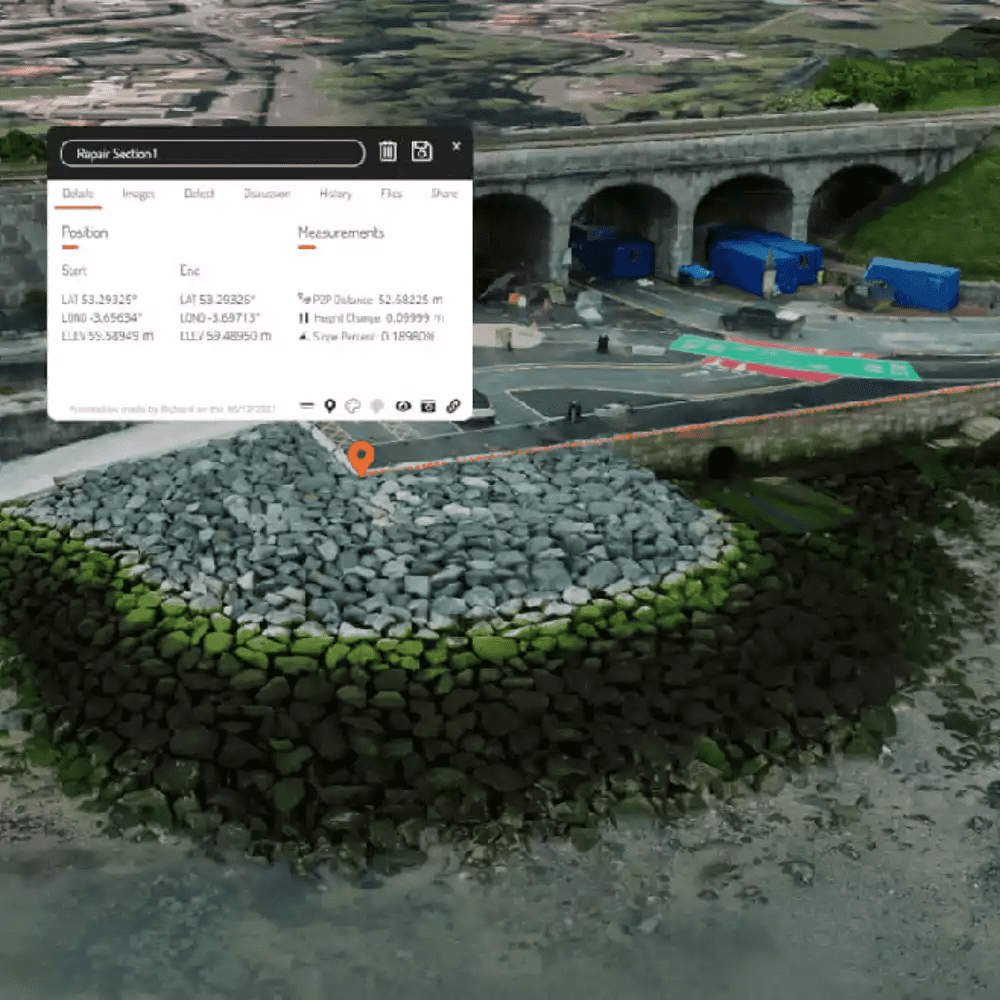
To minimise the need for repeated visits to the site and allow for remote collaboration and planning, cutting-edge delivery methods were used to provide access to the outputs from any web-enabled device. The client needed a way to provide measurements quickly and without the constraint of expensive software, as well as high-quality images to document the
current condition.

